How Did Mount Roraima Form?
Geology Of A Tepui
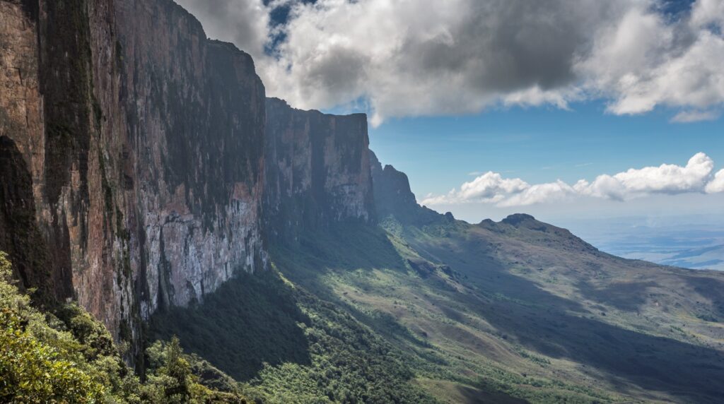
Mount Roraima is one of the most significant ancient geological formations on Earth, and its flat top is not an accident. It formed through a sequence of geological events that began roughly two billion years ago and continued reshaping the landscape. Today, the mountain is a premier destination for hiking and studying ancient earth history.
Many travelers ask, how did mount roraima form? This massive flat-topped mountain is the result of nearly two billion years of cooling, tectonic movement, and persistent weathering within the Guiana Shield.
The short answer to how Mount Roraima formed is this: ancient sandstone and quartzite layers were uplifted, then slowly carved by erosion over hundreds of millions of years until only the hardest rock remained, leaving a flat-topped plateau ringed by sheer vertical cliffs.
As a classic example of a tabletop mountain, its geological history explains why it stands so prominently above the surrounding plains. It remains one of the most recognizable landmarks in the world.
That process explains nearly everything you see when you approach the mountain from Venezuela’s Gran Sabana: the perpendicular walls, the broad summit, the waterfalls dropping off the plateau’s edge, and the bizarre landscape on top. If you are researching the mountain before planning a trek, understanding its geology helps you read the terrain once you are actually on it. Venezuela Nature can help you plan access through Canaima National Park and connect you with experienced local guides who know the summit’s routes well.
Key Takeaways
Mount Roraima’s sandstone and quartzite base is roughly two billion years old, making it one of the most ancient rock formations on the planet.
Differential erosion stripped away softer surrounding rock and left a hard, flat-capped plateau standing above 400 to 1,000-meter vertical cliffs.
The geological isolation of the summit created a unique ecosystem with extreme biodiversity and a high number of endemic species found nowhere else on Earth.
The Geological Origins Of Mount Roraima
Mount Roraima sits within the Guiana Shield, one of the most ancient geological structures in the world. Its formation as a table-top mountain involved deep-time rock building, tectonic uplift, and long-term erosion.
Why Mount Roraima Is Part Of The Guiana Shield
The Guiana Shield, sometimes written as the Guyana Shield, is a Precambrian craton, meaning a stable, ancient block of continental crust that has not been significantly deformed by plate tectonics for billions of years. It underlies much of northern South America, covering large portions of Venezuela, Guyana, and Brazil.
Mount Roraima sits in the eastern part of the Guiana Highlands, within the Pakaraima mountain range, also called the Pacaraima chain. This chain runs roughly east to west along the border region where Venezuela, Guyana, and Brazil meet.
The mountain marks that tripoint precisely, standing as a neighbor to other tepuis like Kukenán. Because of its elevation, the plateau also serves as the Guyana high point.
The shield’s stability is what allowed its ancient rock layers to survive largely intact. While younger mountain ranges elsewhere were folded and crumpled by tectonic collisions, the Guiana Shield stayed relatively flat and undisturbed at depth.
How Ancient Sandstone And Quartzite Built The Plateau
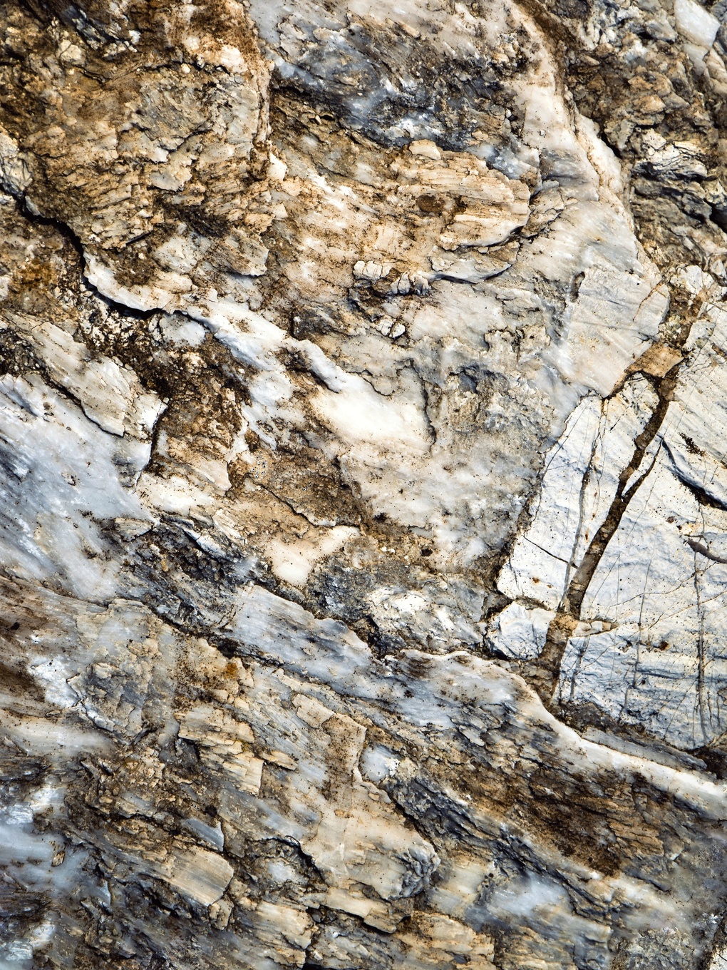
The rock making up Mount Roraima is Proterozoic-age sandstone, formed approximately 1.7 to 2 billion years ago. This sandstone is composed almost entirely of silica particles, around 98%, and contains large quartz deposits. These quartz deposits form white and pink crystals several centimeters long and give the summit surface its distinctive pale, glittering appearance.
The sandstone and quartzite layers sit on a base of granite and gneiss. Originally, additional layers of Mesozoic clay, conglomerate, and diorite covered the sandstone above. Over roughly 180 million years, those softer upper layers were stripped away by erosion, exposing the resistant quartzite and sandstone plateau beneath.
The resulting formation is Monte Roraima, also known as Cerro Roraima or Tepuy Roraima in Spanish, a geological formation defined by its flat cap of resistant rock sitting above a base of older crystalline material.
How Uplift And Differential Erosion Created The Vertical Cliffs
Uplift slowly raised the Guiana Highlands over geological time, exposing the sandstone layers to weathering and rainfall. Once exposed, erosion began working at different rates depending on rock hardness. This process is called differential erosion.
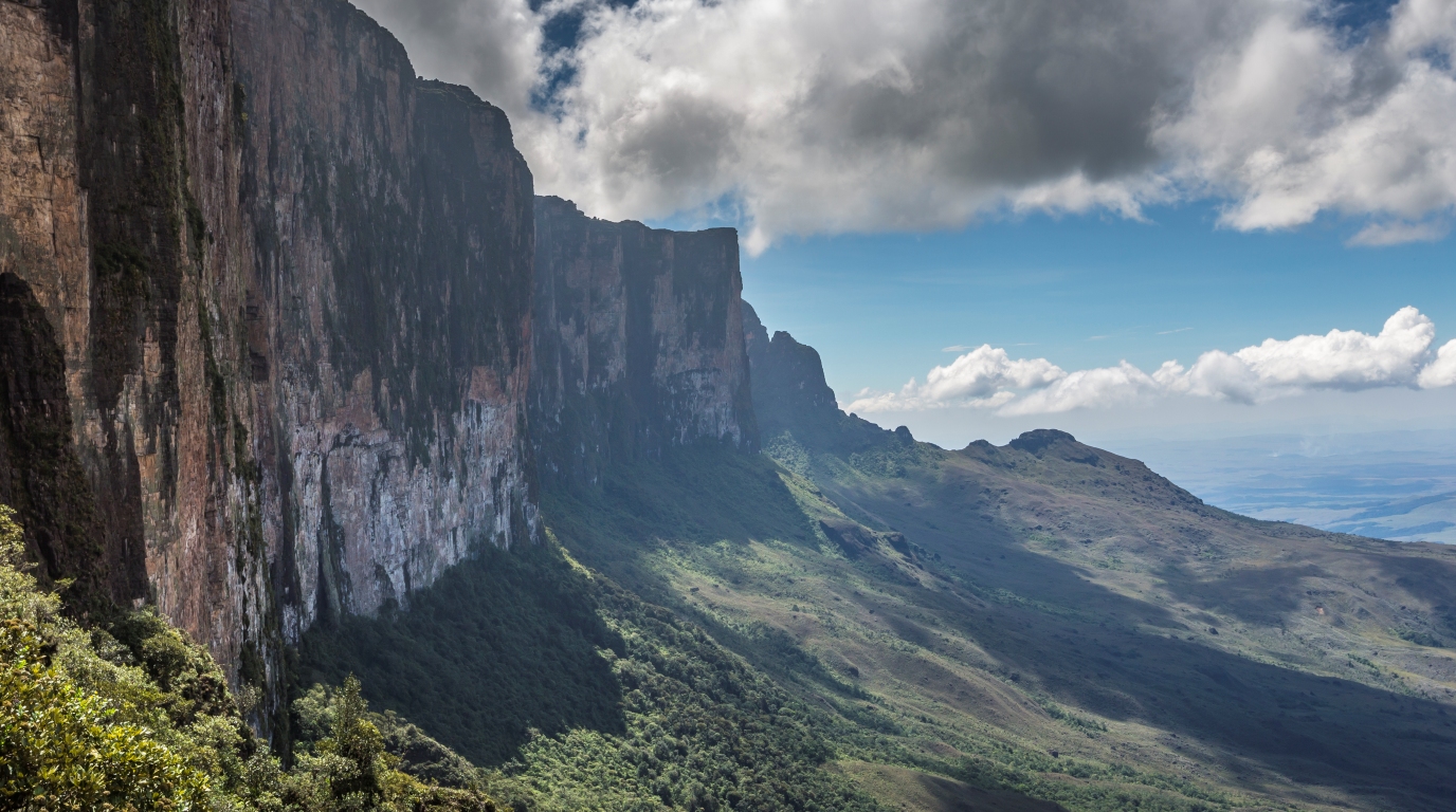
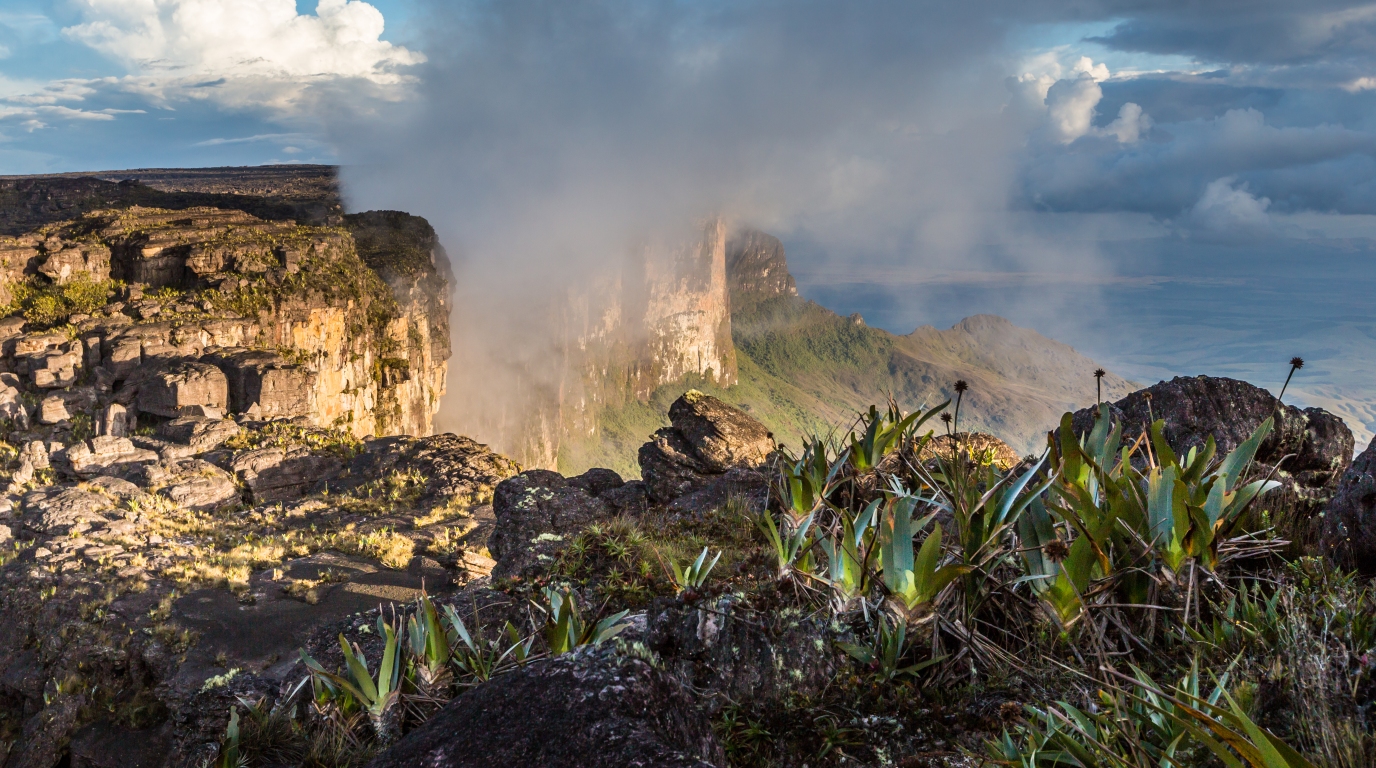
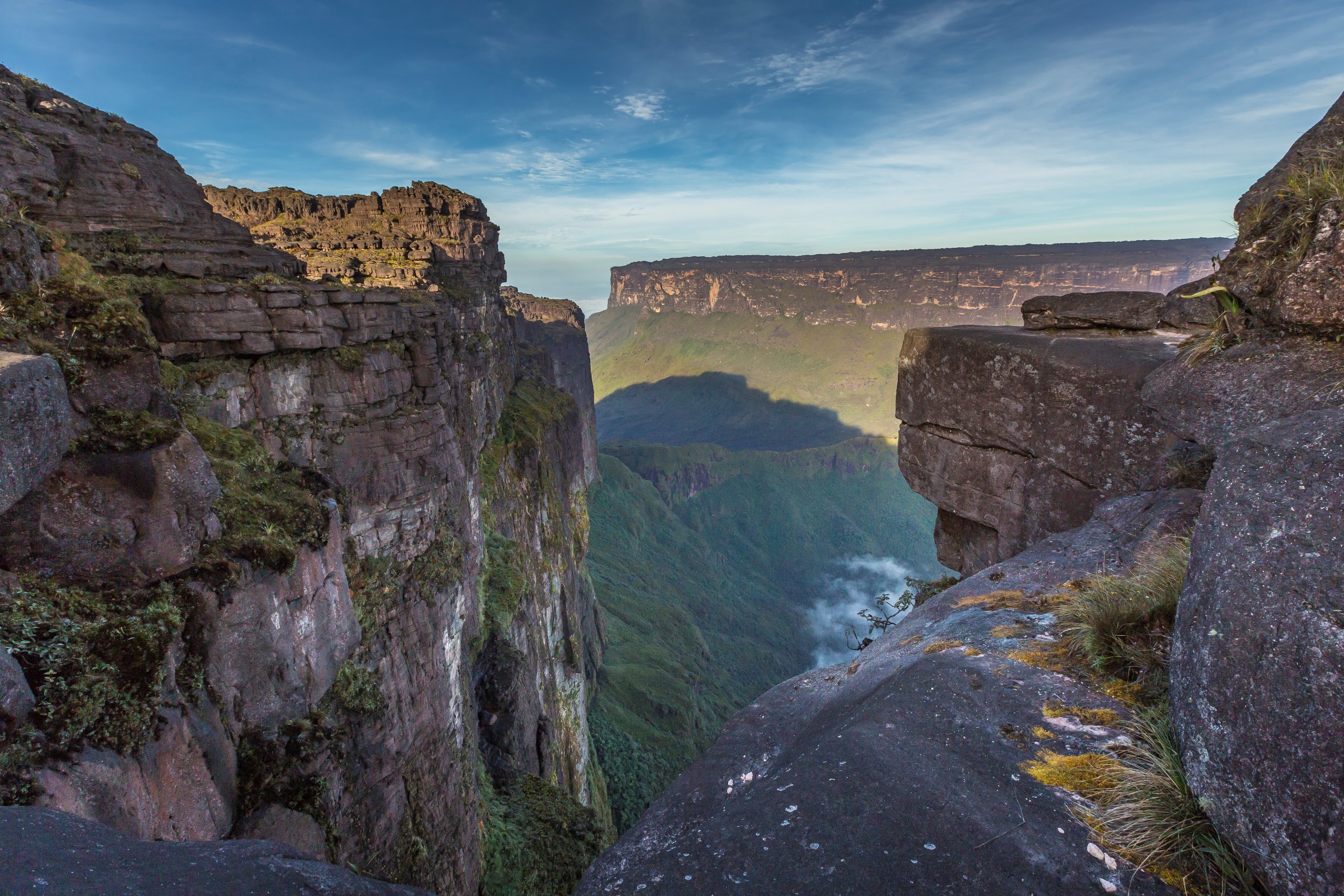
The hard quartzite and sandstone cap resisted erosion far better than the surrounding and underlying softer rock. As the softer material eroded away, the plateau edges became undercut and eventually collapsed into vertical cliffs. Those cliffs now range from 400 to 1,000 meters high around the plateau’s perimeter.
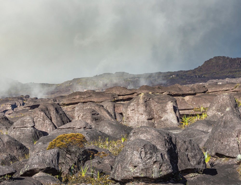
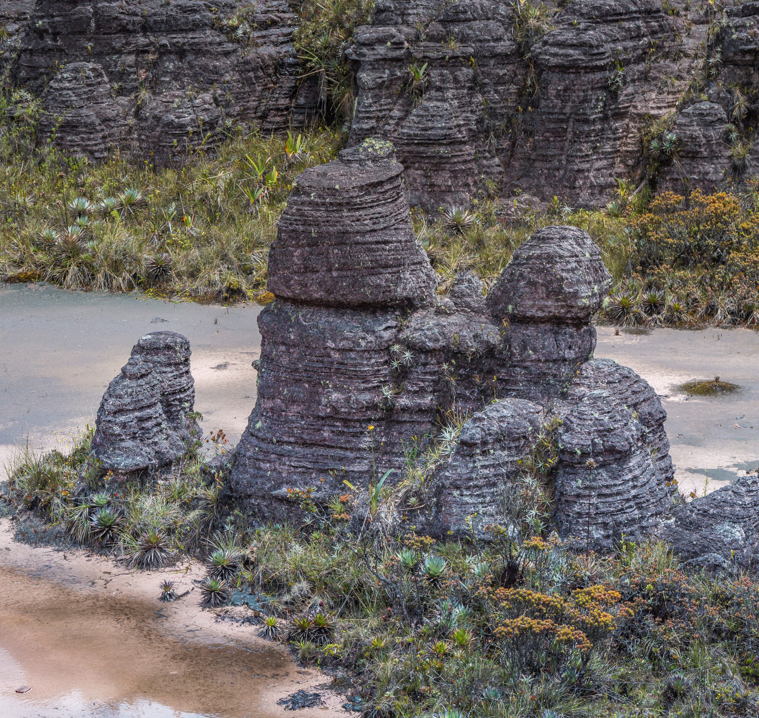
The soil on the sandstone surface is highly acidic, nutrient-poor, and very fine. Intense rainfall on the summit prevents nutrients from building up, which also limits plant growth and soil formation, keeping the summit surface largely bare or sparsely vegetated in patches.
Why Tepuis Became Isolated Tabletop Mountains
Tepuis are a specific type of flat-topped mountain found almost exclusively in the Guiana Highlands. The word comes from the Pemon people and their language, meaning “house of the gods.”
In Pemon mythology, these peaks were once considered sacred branches of the tree of life. Mount Roraima is the highest of the Pacaraima chain.
Each tepui formed through the same basic sequence: resistant sandstone protected from erosion while softer surrounding rock eroded away, leaving isolated table-top mountains standing above the Gran Sabana savanna. The vertical cliffs that resulted effectively cut each tepui off from its surroundings, turning the summit into a unique ecosystem often described as an island in the sky.
This isolation is not just visual. It is biological and evolutionary, fostering incredible biodiversity. The summit of each tepui became a separate environment, cut off from surrounding ecosystems for millions of years. This long-term separation resulted in a unique ecosystem where life followed its own evolutionary path.
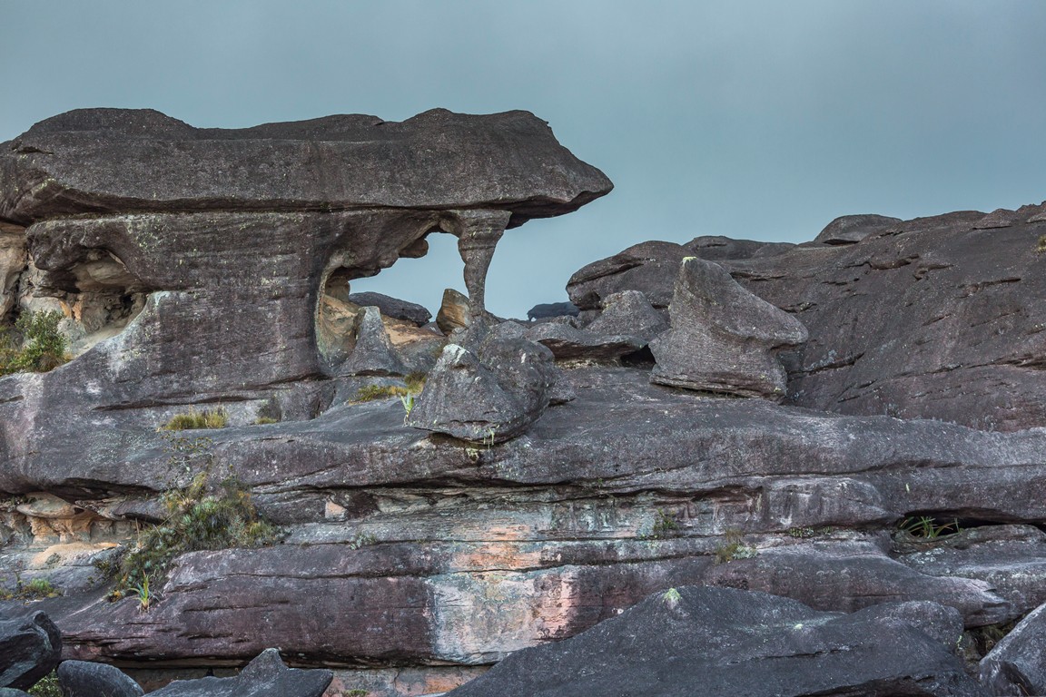
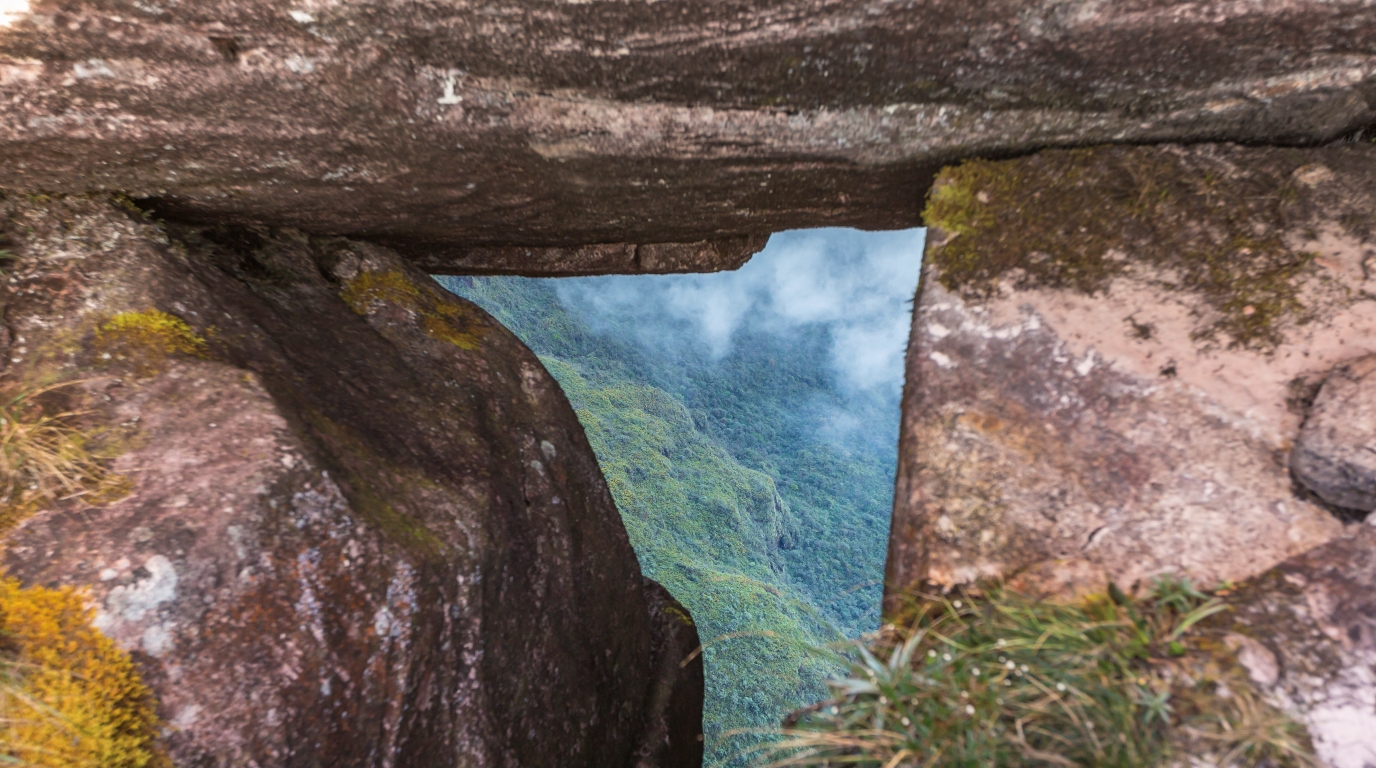
Mount Roraima’s summit also contains a pseudo-karst landscape, with sandstone caves and rifts carved by water infiltration rather than by limestone dissolution as in true karst systems. The cave network inside the plateau extends over 15 kilometers and includes the largest known quartz cave in the world, discovered by the Oxford University Cave Club and the Venezuelan Speleological Society.
What That Formation Means For The Landscape And Life Today
The geology of Mount Roraima did not simply produce a dramatic shape. It created conditions for rainfall behavior, rock weathering, plant survival, and animal adaptation that are unlike almost anywhere else on the planet. The summit’s acidic soil, heavy rainfall, and long isolation from surrounding ecosystems directly shaped what lives there today.
How Rain, Runoff, And Rock Weathering Shape The Summit
Mount Roraima receives more than 1,500 millimeters of rainfall annually, with some areas of the summit reaching 3,000 millimeters during the rainy season from April to November. That volume of water constantly moves across the plateau’s bare quartzite surface, flowing into cracks and fissures carved by erosion.
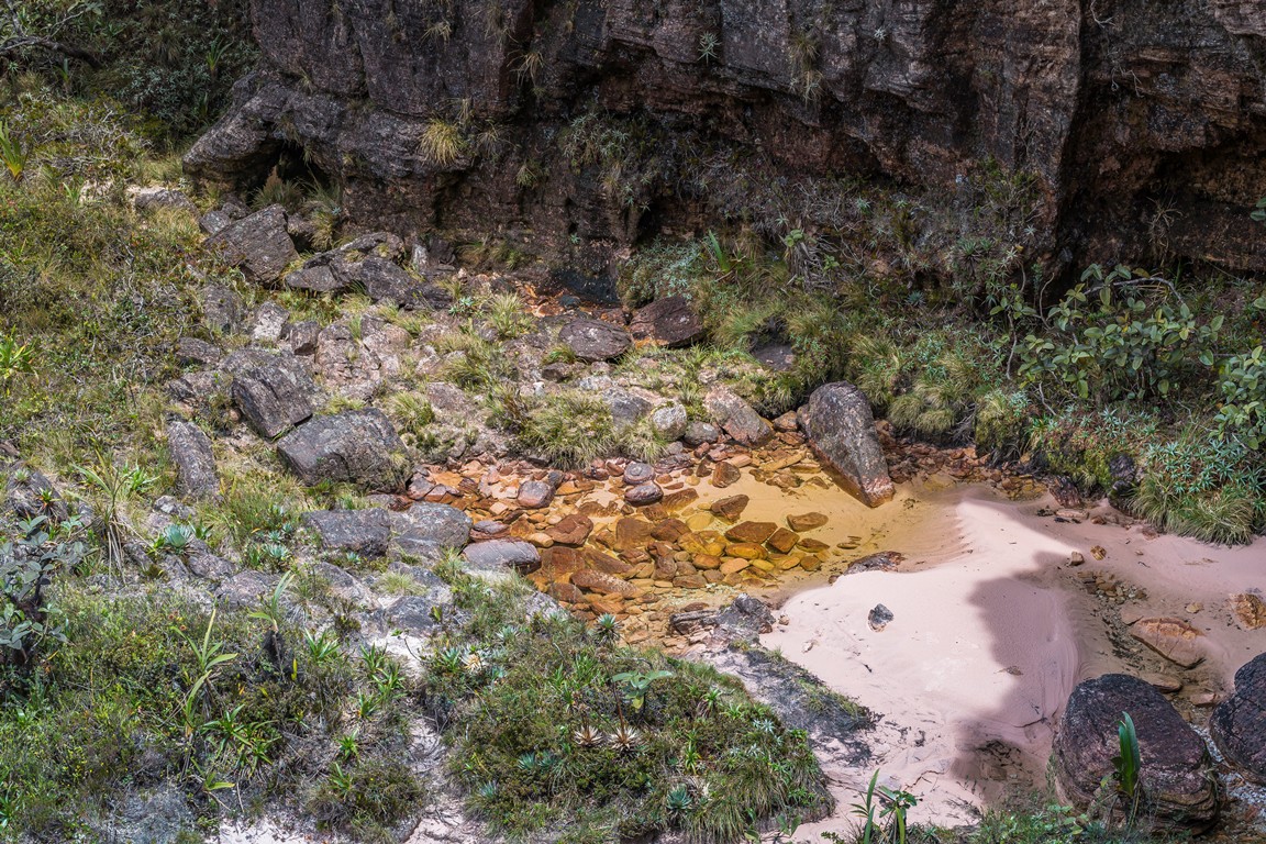
The plateau is described as a pseudo-karst surface, meaning it has cave systems, sinkholes, and channels formed by water eroding soluble or fractured rock. These features, sometimes called ojos de cristal (eyes of crystal) by local guides, appear as clear rock pools worn into the sandstone.
Water that infiltrates the summit flows through an internal cave network and exits as waterfalls on the cliff faces, including Roraima Falls. This constant flow keeps the summit damp, creates microhabitats within crevices, and contributes to ongoing erosion that slowly reshapes the plateau’s surface.
Why Mount Roraima Supports A Unique Ecosystem
The summit’s isolation, acidic substrate, and nutrient-poor conditions forced the species living there to adapt independently over millions of years. The result is a high degree of endemism, meaning species found nowhere else on Earth.
Among the endemic flora, carnivorous plants are especially notable. The summit supports several species that obtain nutrients by trapping insects rather than relying on the poor soil:
Heliamphora nutans, a pitcher plant endemic to Roraima
Drosera felix, the Gran Sabana sundew
Utricularia quelchii, a bladderwort species
Bejaria imthurnii and Orectanthe sceptrum, flowering plants found on the tepui
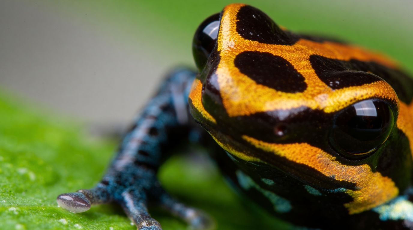
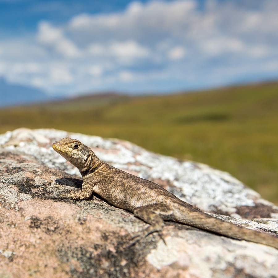
Animal endemism is equally striking. The Roraima bush toad (Oreophrynella quelchii), sometimes called the Roraima toad, lives only on the summit. The Roraima climbing mouse (Podoxymys roraimae) and the related Rhipidomys macconnelli roraimae are rodent species tied to this specific environment. Bird subspecies including Zonotrichia capensis roraimae also show local adaptation.
Because these species evolved in isolation on a small summit area, they are considered highly vulnerable. There is no other habitat they can move to if conditions change.
How Pemón Knowledge And Exploration History Frame The Mountain
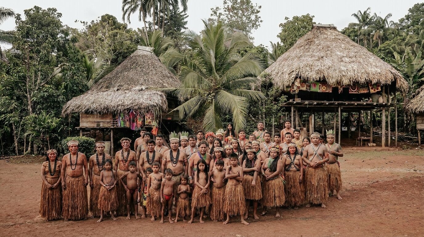
The Pemón people have lived in the Gran Sabana for centuries and regard Mount Roraima as a sacred place. In Pemón mythology, the mountain is considered the stump of a great tree that once held all the world’s fruits. The name Roraima comes from the Pemón words roroi (blue-green) and ma (great).
Western scientific exploration began in the 19th century. Robert Hermann Schomburgk described the mountain in the 1830s. Carl Ferdinand Appun and Charles Barrington Brown also contributed early accounts. The first documented summit ascent was completed in 1884 by a British expedition led by Sir Everard Im Thurn, accompanied by Harry Inniss Perkins.
That ascent later inspired Sir Arthur Conan Doyle’s 1912 novel The Lost World, which imagined a plateau where prehistoric creatures survived in isolation. The scientific reality is less dramatic but arguably more fascinating: the summit’s species did evolve in near-total isolation, shaped by the same geological separation Doyle used as his premise.
Speleological expeditions, including the Oxford University Cave Club’s work with the Venezuelan Speleological Society, have explored the cave systems since, but much of Roraima’s biology and geology remains incompletely documented.
What Travelers Notice On A Roraima Expedition
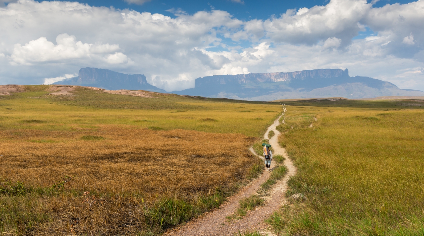
The standard approach to Mount Roraima starts near Santa Elena de Uairén in Venezuela and passes through Canaima National Park territory. The trek takes several days, moving across Gran Sabana savanna before ascending through cloud forest and up the southern ramp, the only non-technical route to the top.
Once on the summit, several features stand out:
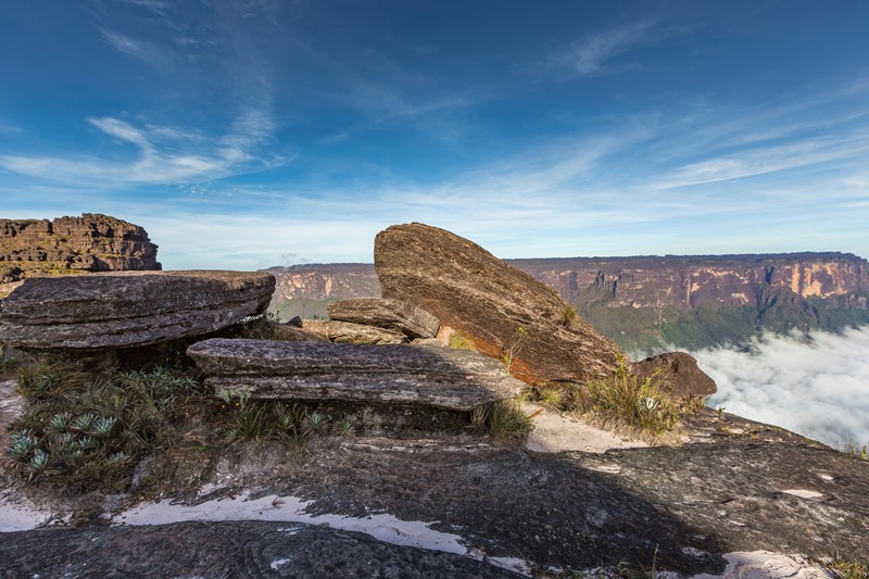
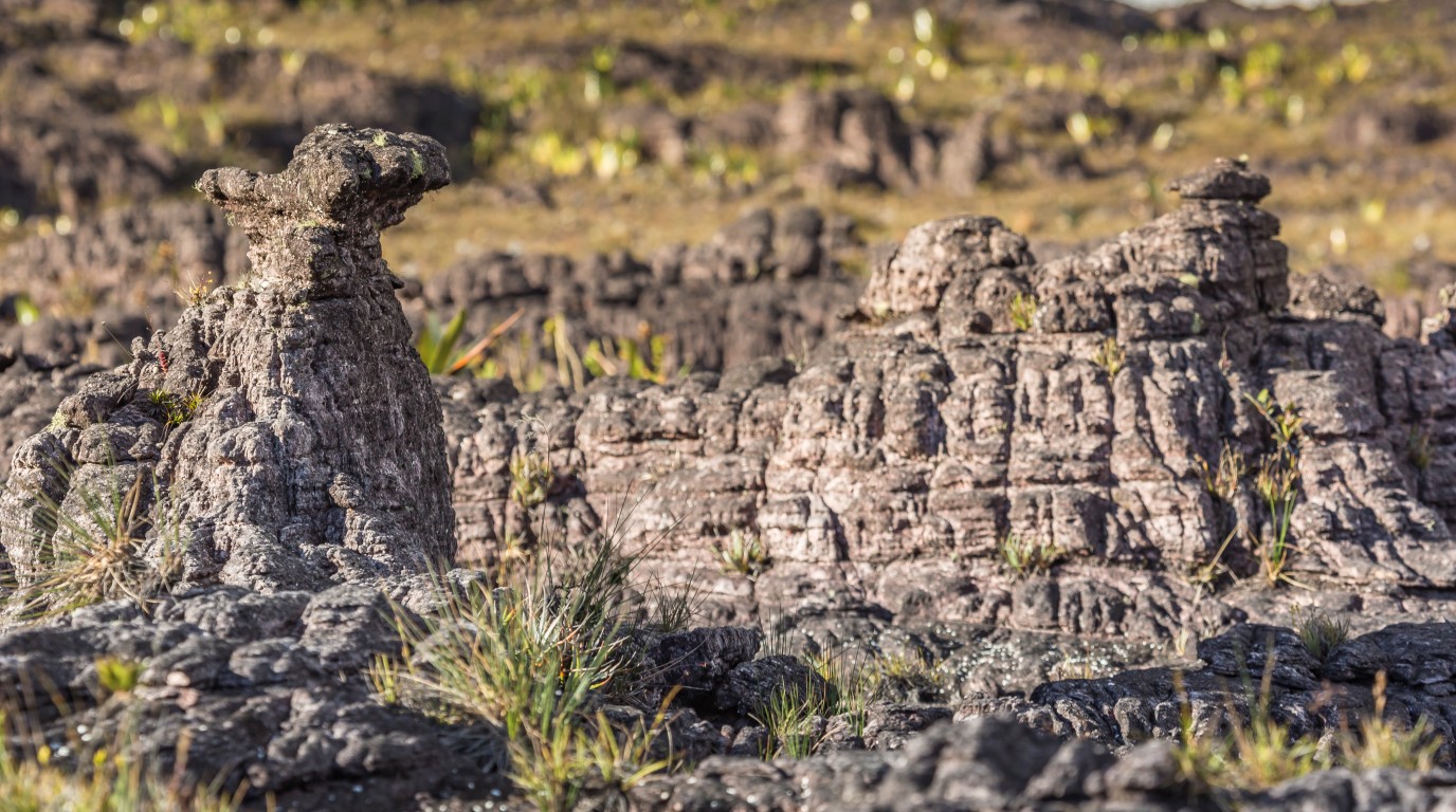
Black-stained rock surfaces: Iron and manganese deposits coat much of the plateau, giving it a dark, worn appearance despite the pale quartzite underneath.
Maverick Rock: A prominent summit landmark at the plateau’s highest point, sitting at 2,810 meters above sea level.
Crystal pools and carved channels: The pseudo-karst surface creates smooth, bowl-shaped depressions filled with clear water.
Roraima Falls: Water pouring off the plateau edge, fed by constant summit rainfall.
Sparse, low vegetation: Carnivorous plants, mosses, and bromeliads grow in crevices and sheltered patches where thin soil accumulates.
Guided trekking is strongly recommended, both for route-finding on the summit and for respectful engagement with Pemón communities along the approach. Sustainable tourism with knowledgeable guides, including through operators like Venezuela Nature, helps ensure the ecosystem and cultural sites are treated carefully.
Our Sabana Travel Packages
Frequently Asked Questions
Mount Roraima is a tepui located on the border of Venezuela, Brazil, and Guyana. It is known for its flat summit, ancient cliffs, and unique biodiversity, making it a popular destination for hiking and exploration.
Mount Roraima's flat top formed through differential erosion: hard sandstone and quartzite resisted weathering while softer surrounding rock eroded away over hundreds of millions of years. The resistant cap rock remained elevated, producing a broad plateau with sheer vertical cliffs on its edges. Tectonic uplift gradually raised the entire Guiana Highlands region, accelerating that erosion process.
The flatness comes from the horizontal layering of resistant sandstone and quartzite deposited roughly 1.7 to 2 billion years ago. Because these layers are nearly level and uniformly hard, erosion wore down the surface evenly rather than carving peaks and valleys. The result is a broad, relatively flat plateau rather than a pointed or irregular summit.
The sandstone and quartzite making up Mount Roraima are approximately 1.7 to 2 billion years old, placing them in the Proterozoic era. The rock is composed of roughly 98% silica particles and contains significant quartz deposits, indicating it formed in an ancient sedimentary environment on the Guiana Shield. These are among the oldest exposed rocks on Earth.
Erosion removed softer Mesozoic rock layers that once covered the sandstone, then continued undercutting the plateau's edges to produce vertical cliffs between 400 and 1,000 meters high. Heavy rainfall on the summit carved a pseudo-karst landscape of caves, channels, and rock pools by infiltrating fractures in the quartzite. That internal water movement continues reshaping the mountain today.
The vertical cliffs effectively isolated the summit from surrounding ecosystems for millions of years, forcing species to adapt independently. The acidic, nutrient-poor sandstone soil pushed plants like Heliamphora nutans and Drosera felix to evolve carnivorous strategies for obtaining nutrients. Animals including the Roraima bush toad (Oreophrynella quelchii) and the Roraima climbing mouse (Podoxymys roraimae) evolved as distinct species found nowhere else.
Robert Hermann Schomburgk provided early written descriptions of Mount Roraima in the 1830s, with subsequent accounts by Carl Ferdinand Appun and Charles Barrington Brown. The first recorded summit ascent was completed in 1884 by a British expedition led by Sir Everard Im Thurn and Harry Inniss Perkins. Despite that history, the summit's biology and geology are still not fully documented, and new species continue to be identified.